

Insider Brief
- The British-built Biomass satellite launched April 29 aboard Arianespace’s Vega C rocket to create the first 3D maps of Earth’s tropical forests, providing vital data on carbon storage and deforestation.
- Designed to penetrate dense forest canopies and clouds, Biomass will track how much carbon is held in forests and how it changes over time, supporting accurate carbon budgets and net-zero climate strategies.
- The mission addresses a critical data gap in forest monitoring and is expected to strengthen conservation policy and biodiversity research while highlighting the UK’s role in climate-focused space innovation.
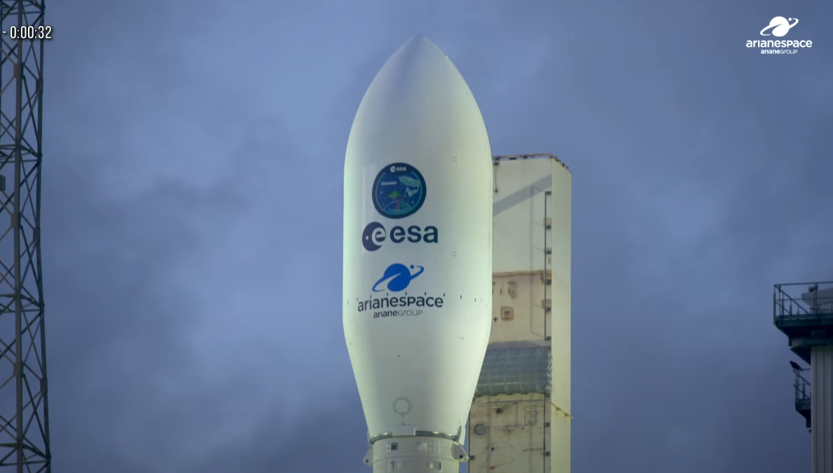
Arianespace’s Vega C rocket streaked across the skies above the Amazon rainforest as the Biomass satellite built by British engineers to measure Earth’s forests in three dimensions from space began it’s mission April 29.
Developed by British academics and manufactured by Airbus UK, the Biomass satellite lifted off at 11:15 CEST from the European Space Agency’s spaceport in French Guiana. The mission aims to create detailed maps of tropical forests, providing scientists with the most accurate data yet on how much carbon is stored in trees and how forests are changing over time, according to the British government.
“Contributing to such great extent to a European mission set to deliver vital global results is testament to the UK’s industrial and academic expertise in space technology and will attract global investment into our vibrant space ecosystem, helping us boost growth and deliver our Plan for Change,” Sir Chris Bryant, the UK’s Minister for Space said in a statement.

Led by Professor Shaun Quegan of the University of Sheffield, Biomass was conceived to tackle the shortage of accurate global data on forest carbon levels. Unlike existing satellites that largely capture only the tops of forest canopies, Biomass uses advanced radar technology that can penetrate dense foliage and persistent cloud cover to map entire forest structures.
The satellite will create its first full 3D map after 17 months in orbit and continue producing updated two-dimensional maps every nine months during its five-year mission. Scientists expect the data will improve global carbon budgets by providing a clearer picture of carbon sinks and sources, essential for shaping net-zero strategies.
“It’s been a privilege to have led the team in the development of a pioneering mission that will revolutionize our understanding of the volume of carbon held in the most impenetrable tropical rainforests on the planet and, crucially, how this is changing over time,” noted Quegan. “Our research has solved critical operational scientific problems in constructing the Biomass satellite.”
Currently, measuring forest biomass requires difficult, costly ground expeditions, particularly in remote tropical regions. Biomass offers a way to regularly monitor vast areas from space, helping scientists assess both carbon storage and biodiversity health.:
The project also delivers an economic boost to the UK. Around 250 highly skilled jobs were supported during construction at Airbus’ Stevenage facility, reinforcing the UK’s 52,000-strong space workforce. The mission is seen as a flagship achievement under Britain’s “Plan for Change,” which seeks to pair technological leadership with climate action.
Kata Escott, Managing Director of Airbus Defence and Space in the UK, pointed out, “With more than 50 companies involved across 20 nations, the team in Stevenage has shown exceptional leadership in delivering this flagship ESA mission.”
Since 2016, the UK has secured nearly €91 million in contracts for the Biomass mission through its membership in the ESA.
The satellite’s observations are also expected to help track rates of deforestation and habitat loss, giving scientists better tools to understand how biodiversity is being impacted worldwide. By identifying where forests are shrinking and how quickly, the mission could inform conservation efforts and policymaking.